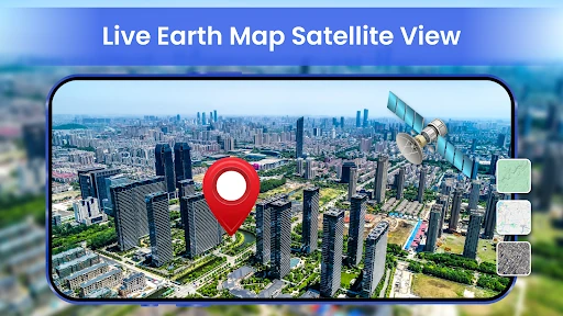
Live Earth Map- Satellite View
Travel Maps Tech
Downloads
1,000,000+
Version
Latest
Advertisement
Click to download now, finish the installation quickly, and directly unlock the "all-round experience"
Advertisement
Screenshots


Click to download now, finish the installation quickly, and directly unlock the "all-round experience"
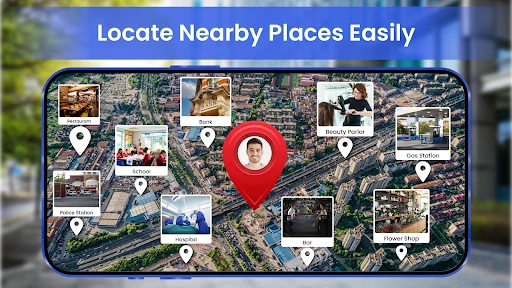
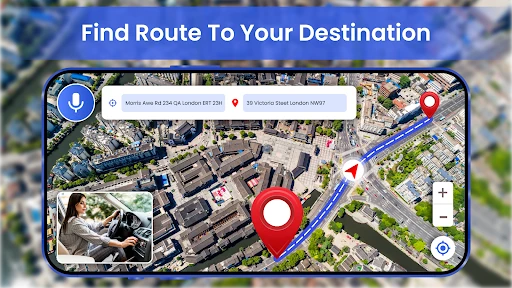
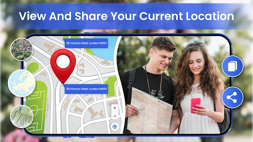
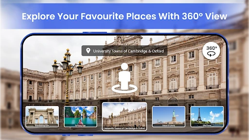
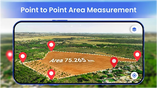
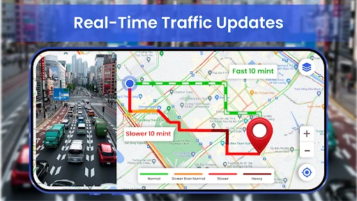
Live Earth Map- Satellite View positions itself as a versatile, multi-functional tool within the Maps & Navigation landscape. Rather than focusing solely on point-to-point transit, it attempts to bridge the gap between a traditional GPS navigator and a geographical exploration suite. By integrating high-resolution satellite imagery with pragmatic utility tools like area calculators and parking reminders, the app caters to a niche of users who require more contextual data than standard pre-installed mapping solutions typically provide. It is a comprehensive companion for both daily commuting and intentional travel exploration.
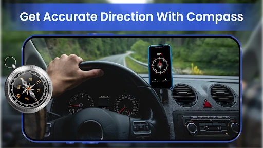
The user interface of Live Earth Map- Satellite View is designed around the principle of immediate accessibility. In the Maps & Navigation category, UI friction can be a safety hazard; here, the inclusion of voice-guided navigation and prominent zoom controls indicates a focus on hands-free or low-effort interaction. The layout successfully manages a high density of features—ranging from weather to compasses—without overwhelming the central map canvas. While the sheer number of tools risks "feature bloat," the logical grouping of navigation and exploration tools ensures a relatively shallow learning curve for the average user.
To further elevate the user experience, the developers should consider implementing an offline map caching system for the satellite view, which would be invaluable for hikers or international travelers with limited data. Additionally, refining the UI to include a "Day/Night" mode that automatically adjusts the color palette based on ambient light would improve safety and readability during late-night drives. Integrating augmented reality (AR) overlays for the "Nearby Places" feature could also provide a more immersive and intuitive way for users to identify landmarks in real-time.
Live Earth Map- Satellite View is an ideal solution for power users, outdoor enthusiasts, and travelers who find standard mapping apps too restrictive. It excels as a multipurpose toolkit that provides both the "big picture" via satellite and the "fine details" via its utility features. We recommend this app for users who prioritize environmental awareness and comprehensive data over minimalist navigation. It is a robust, authoritative tool for anyone looking to navigate the world with a higher degree of technical insight.