Advertisement
Click to download now, finish the installation quickly, and directly unlock the all-round experience
Advertisement
Screenshots


Click to download now, finish the installation quickly, and directly unlock the all-round experience
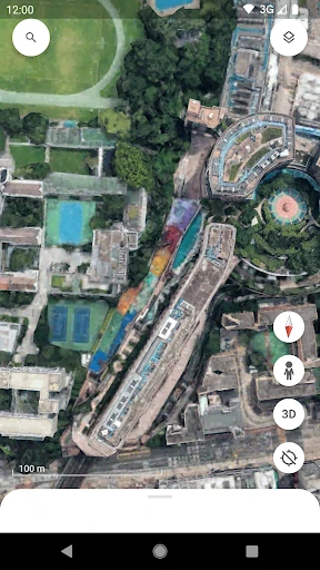
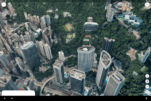
Google Earth is a globe-viewing app for exploring places through satellite imagery, 3D terrain, 3D buildings and ground-level Street View coverage. It suits travelers planning a visit, students studying geography, and anyone who wants to inspect a city, coastline, landmark or remote area without being there.
The app is built around looking rather than turn-by-turn navigation. Its strongest use is visual context: checking what an area looks like, understanding terrain, previewing a destination or following curated geographic content. Detailed 3D scenes and imagery may require more processing and data than a simple map, so performance can vary by device and connection.
Google Earth has a 3.78919 rating from 2,972,147 reviews and an install range of 500,000,000+. That combination points to a widely used app with a substantial body of user feedback, while the score is more moderate than the install figure alone might suggest. Google LLC publishes it in the Travel & Local category.