Avenza Maps: Offline Mapping
Avenza Systems Inc.
Downloads
5,000,000+
Version
Latest
Advertisement
Click to download now, finish the installation quickly, and directly unlock the "all-round experience"
Advertisement
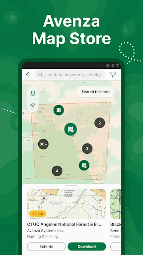
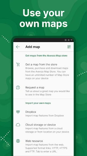
Screenshots

Click to download now, finish the installation quickly, and directly unlock the "all-round experience"
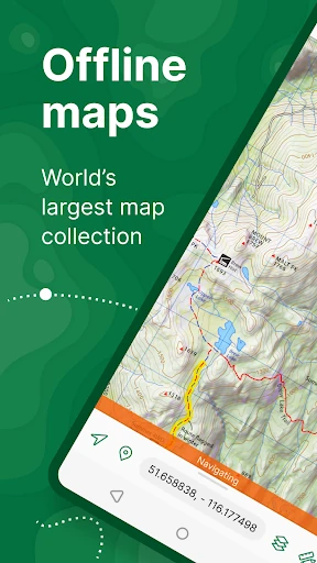
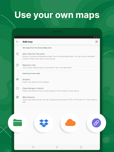
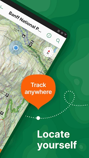
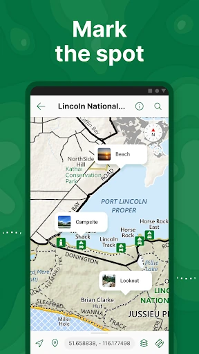
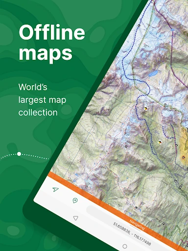
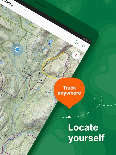
Avenza Maps: Offline Mapping distinguishes itself in the Maps & Navigation landscape as a high-precision tool that bridges the gap between consumer-grade hiking apps and professional Geographic Information System (GIS) software. Unlike competitors that rely on tiled map streaming, Avenza utilizes a unique engine capable of rendering high-resolution GeoPDF, GeoTIFF, and JPG maps directly on the device. This approach provides an unmatched level of reliability for users operating in remote "dead zones," making it an essential utility for both serious outdoor enthusiasts and field professionals in surveying, forestry, and emergency services.
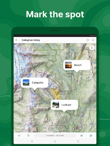
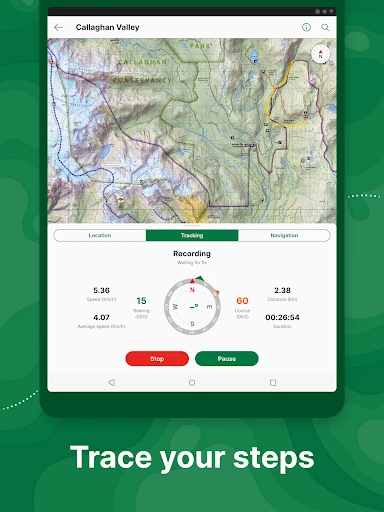
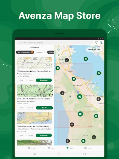
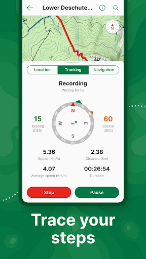
The user interface of Avenza Maps prioritizes utility and technical precision over the sleek, social-driven aesthetics found in casual fitness apps. The design is structured to handle complex geospatial data, which results in a highly functional, albeit dense, layout. Navigation through the Map Store is efficient, and the rendering of static maps is impressively crisp. While there is a slight learning curve for users unfamiliar with coordinate systems and geospatial formats, the UX is logically organized for its primary purpose: reliable navigation in high-stakes environments.
To further solidify its market position, Avenza Maps could benefit from a more modern UI overhaul that reduces menu nesting for common tasks like track recording. Additionally, expanding the cloud synchronization capabilities for the Plus tier and offering a "pro-sumer" mid-range subscription for recreational users who need more than three imports but don't require professional GIS features would likely increase user retention.
Avenza Maps: Offline Mapping is the definitive choice for field researchers, surveyors, and serious backcountry explorers who require professional-grade accuracy. It is less of a "social hiking" app and more of a mission-critical tool for navigation and data collection. We highly recommend this app for anyone whose work or recreation takes them off the grid and requires the precision of a digital map that behaves exactly like a traditional paper map, only smarter.